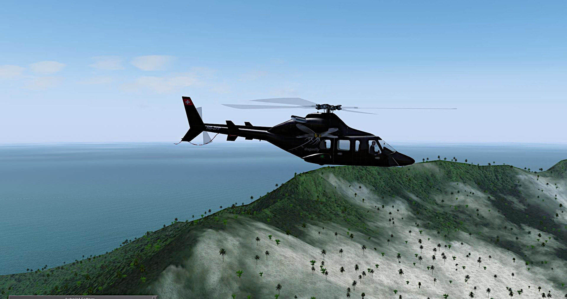
FlightNight June 24 - Papua New Guinea Chopper Cruise and Island Observance!
We'll meet at 8 pm London time at ICAO: AYNZ - Lae Nadzab Airport near Nadzab. Please bring the chopper of your choice from the FGUK Hangars that can attain and maintain 130 KIAS up to 16K' for an hours duration. from point of origin, we will fly directly to AYMD - Madang Airport - in, you guessed it! Madang, Papua New Guinea! This will be our base of exploration as well as midpoint refresh and refuel point.
After refresh, we will depart Northish along the North Coast Highway up the coast until we reach Bunu at which time we will turn to approx. 45 degrees and fly directly to the Southwest coast of Kar Kar Island, home of Mount Kunugui and Mount Uluman. After a brief lookie see we will turn to approx 135 degrees and intercept Bagabag Island which houses a huge crater. After viewing/overflying Bagabag we will depart to 270 degree back to the coast of Papua New Guinea until we hit the coast. We will then follow the coast back to Madang as out final destination.
Comms on TeamSpeak as always!
Ever been to Papua New Guinea in FGFS? Then it'll be a treat! CYA!
VooDoo


Comments
Photoscenery for the next flightnight
OneDrive Link
https://1drv.ms/f/s!AmRcwtiRJxd9g8oNJNvMFbZ8HWUnmg?e=pPL1hr
Install as before
Thanks Oly!!
VooDoo
Hi VooDoo the Photscenery also cover these over islands
I use SkyVector to create a route gpx file, then after loading this into FG I then save the route plan as a xml file, which the photoscenery generator use to create the tiles.
Things like islands can easy be added to the SkyVector Flight Plan by right clicking on the map and adding a gps fix as above.